
Explore Hetauda by Ward
Official municipal profiles, elected representatives, key landmarks, demographics, and verified local places across all 19 wards.
Office of the Municipal Executive
हेटौंडा उपमहानगरपालिका • नगर कार्यपालिकाको कार्यालय

Meena Kumari Lama
मीना कुमारी लामा
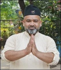
Rajesh Baniya
राजेश बानियाँ
19 Municipal Wards Directory
Official directory of all 19 ward offices, elected ward chairpersons, and local places
Hetauda Ward No. 1
Chaukitole, Rapti Road Corridor & Pathibhara Temple
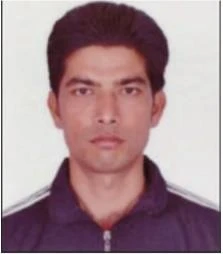
Hetauda Ward No. 2
Institutional Core, Vanaskhandi Temple & Upper Transit
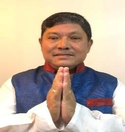
Hetauda Ward No. 3
Industrial Logistics, Unilever Plant & Highway Transit
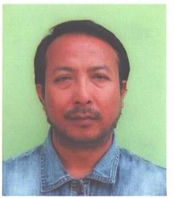
Hetauda Ward No. 4
Commercial Epicenter, Buddha Chowk, Huprachaur & Markets
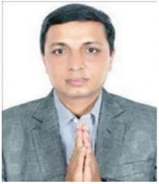
Hetauda Ward No. 5
Pushpalal Park, Fisheries Center & Cultural Shrines
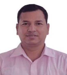
Hetauda Ward No. 6
Famous Khuwa Hub, Bamshagopal Temple & Sports Stadium
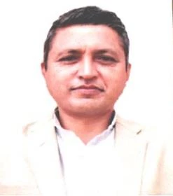
Hetauda Ward No. 7
Shri Niwas Laxminarayan Mandir & Karra River Corridor
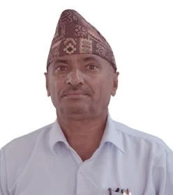
Hetauda Ward No. 8
Hetauda Industrial District (HID) & Economic Engine
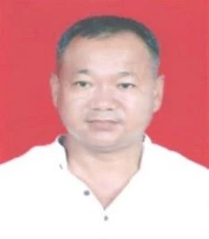
Hetauda Ward No. 9
Kushmanda Sarobar Pilgrimage & Hetauda Cement Plant
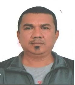
Hetauda Ward No. 10
Central Bus Park, Bhutandevi Mandir & Forestry Campus
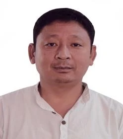
Hetauda Ward No. 11
Sahid Smarak Memorial Park, Punya Kshetra & Nawalpur
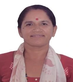
Hetauda Ward No. 12
Scenic Padampokhari Hills & Rural Green Landscapes
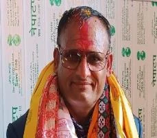
Hetauda Ward No. 13
Padampokhari Heritage Lake & Parsa National Park Border

Hetauda Ward No. 14
Historic Churiyamai Temple, Old Tunnel & Forest Reserves
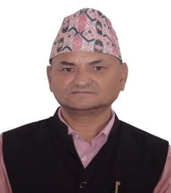
Hetauda Ward No. 15
Riddhi Siddhi Cement, Industrial Presence & Southern Border
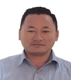
Hetauda Ward No. 16
Shakteshwor Mahadev Mandir & Janapriya Technical Institute
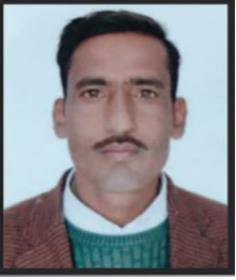
Hetauda Ward No. 17
Shivam Cements, Jurethum Tourist Area & Salak Park
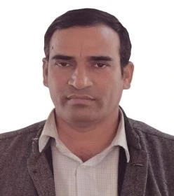
Hetauda Ward No. 18
Gumbadanda Stone Sculpture Park & Goraksh Tal
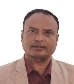
Hetauda Ward No. 19
Hetauda's Largest Ward, Western Basamadi & Mountain Passes
Do you operate a business, shop, or clinic in Hetauda?
Get verified and featured in your respective ward directory on Explore Hetauda for free. Connect with thousands of local residents and tourists every month.
Frequently Asked Questions (FAQ)
Common questions about Hetauda Sub-Metropolitan administrative divisions and ward offices
How is Hetauda Sub-Metropolitan City administratively divided into 19 wards?+
Hetauda Sub-Metropolitan City covers an expansive municipal territory of 261.59 square kilometers in Makwanpur district. It is organized into 19 municipal wards, ranging from the high-density urban commercial center (Wards 2, 4, 5, 10) to industrial corridors (Wards 3, 8, 9) and scenic rural/semi-urban valleys formed from former VDCs including Basamadi, Hatiya, Padampokhari, and Churiyamai.
Which ward is the main commercial, gadget, and shopping center in Hetauda?+
Ward 4 is the core commercial and retail epicenter of Hetauda. It encompasses Buddha Chowk, Kantirajpath, School Road (renowned as the gadget and mobile hub), Narayani Mall, and major banking institutions. Wards 2 and 10 also form vital commercial extensions.
Which is the largest ward in Hetauda by geographic land area?+
Ward 19 (Basamadi / western forested corridor) is the largest municipal ward by land area, spanning 40.54 km², followed by Ward 18 (Ghaatigaun / Harnamadi foothills) which spans 32.86 km².
Where are the Bagmati Provincial ministries and district administrative headquarters located?+
The provincial government ministries of Bagmati Province, the Chief Minister's Office, the District Administration Office (DAO) of Makwanpur, and the District Court are predominantly located in Ward 2 (along Court Road and the upper Kantirajpath corridor).
What essential civic services can residents obtain at their local Ward Secretariat (वडा कार्यालय)?+
Each Ward Secretariat office provides vital registrations (birth, death, marriage, migration), citizenship and passport recommendation letters, property and business tax registration/verification, social security welfare distributions, and ward committee dispute mediation.